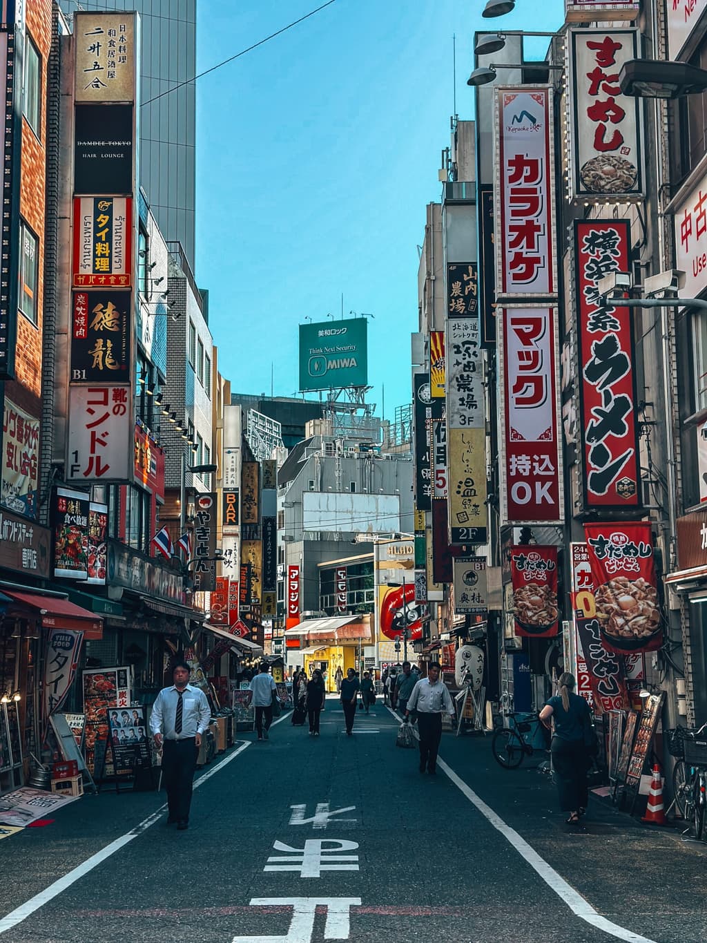
**Recent forecasts from the Japan Meteorological Agency (JMA) and international models indicate a high near 30–32°C for Tokyo on August 31, with partly cloudy to mostly cloudy skies, light winds, and a modest chance of afternoon showers or thunderstorms that could limit peak heating.** After several cooler, rainier days in late August (highs often 25–29°C amid persistent cloud cover and moisture), conditions are expected to trend slightly warmer and more stable as a transient high-pressure influence builds. Hourly guidance shows temperatures climbing from morning lows near 23–25°C to an afternoon maximum typically between 29–31°C, with urban heat-island effects in central Tokyo potentially adding a degree or two under clearer breaks. The market’s near-even odds between 29°C and 30°C reflect this narrow range of model consensus, where small differences in cloud timing, wind speed, or convective development can shift the daily maximum by 1–2°C. Higher outcomes (31°C+) carry lower implied probability because recent runs emphasize humidity and scattered precipitation that cap extreme heating, while lower readings remain possible only if heavier cloud cover or rain arrives earlier than currently expected. Updated model runs and official JMA briefings in the next 24–48 hours will provide the clearest signals for resolution.
Eksperimental na AI-generated summary na nire-reference ang Polymarket data. Hindi ito trading advice at wala itong papel sa kung paano nire-resolve ang market na ito. · Na-updateHighest temperature in Tokyo on August 31?
Highest temperature in Tokyo on August 31?
30°C 34%
29°C 25%
31°C 14%
27°C 9%
25°C or below
<1%
26°C
<1%
27°C
9%
28°C
7%
29°C
25%
30°C
27%
31°C
22%
32°C
6%
33°C
6%
34°C
4%
35°C or higher
1%
30°C 34%
29°C 25%
31°C 14%
27°C 9%
25°C or below
<1%
26°C
<1%
27°C
9%
28°C
7%
29°C
25%
30°C
27%
31°C
22%
32°C
6%
33°C
6%
34°C
4%
35°C or higher
1%
The resolution source for this market will be information from NOAA, specifically the highest reading under the "Temp" column for all times on this day, available here: https://www.weather.gov/wrh/timeseries?site=rjtt
If NOAA data for the observation date is unavailable by 11:59 PM ET on the day following the observation date, the Weather Underground Daily Observations table will be used as the resolution source.
To toggle between Fahrenheit and Celsius, click the "Switch to Metric Units" button until the relevant table displays °C.
This market can not resolve until the first data point for the following date has been published on the resolution source.
The resolution source for this market measures temperatures to whole degrees Celsius (eg, 9°C). Thus, this is the level of precision that will be used when resolving the market.
Revisions to temperatures recorded within this market's timeframe will be considered until the first datapoint for the following date has been published, after which any alterations will not be considered.
Binuksan ang Market: Aug 29, 2026, 12:56 AM ET
Resolution Source
https://www.weather.gov/wrh/timeseries?site=rjttResolver
0x69c47De9D...The resolution source for this market will be information from NOAA, specifically the highest reading under the "Temp" column for all times on this day, available here: https://www.weather.gov/wrh/timeseries?site=rjtt
If NOAA data for the observation date is unavailable by 11:59 PM ET on the day following the observation date, the Weather Underground Daily Observations table will be used as the resolution source.
To toggle between Fahrenheit and Celsius, click the "Switch to Metric Units" button until the relevant table displays °C.
This market can not resolve until the first data point for the following date has been published on the resolution source.
The resolution source for this market measures temperatures to whole degrees Celsius (eg, 9°C). Thus, this is the level of precision that will be used when resolving the market.
Revisions to temperatures recorded within this market's timeframe will be considered until the first datapoint for the following date has been published, after which any alterations will not be considered.
Resolution Source
https://www.weather.gov/wrh/timeseries?site=rjttResolver
0x69c47De9D...**Recent forecasts from the Japan Meteorological Agency (JMA) and international models indicate a high near 30–32°C for Tokyo on August 31, with partly cloudy to mostly cloudy skies, light winds, and a modest chance of afternoon showers or thunderstorms that could limit peak heating.** After several cooler, rainier days in late August (highs often 25–29°C amid persistent cloud cover and moisture), conditions are expected to trend slightly warmer and more stable as a transient high-pressure influence builds. Hourly guidance shows temperatures climbing from morning lows near 23–25°C to an afternoon maximum typically between 29–31°C, with urban heat-island effects in central Tokyo potentially adding a degree or two under clearer breaks. The market’s near-even odds between 29°C and 30°C reflect this narrow range of model consensus, where small differences in cloud timing, wind speed, or convective development can shift the daily maximum by 1–2°C. Higher outcomes (31°C+) carry lower implied probability because recent runs emphasize humidity and scattered precipitation that cap extreme heating, while lower readings remain possible only if heavier cloud cover or rain arrives earlier than currently expected. Updated model runs and official JMA briefings in the next 24–48 hours will provide the clearest signals for resolution.
Eksperimental na AI-generated summary na nire-reference ang Polymarket data. Hindi ito trading advice at wala itong papel sa kung paano nire-resolve ang market na ito. · Na-update
Mag-ingat sa mga external link.
Mag-ingat sa mga external link.
Mga Madalas na Tanong