
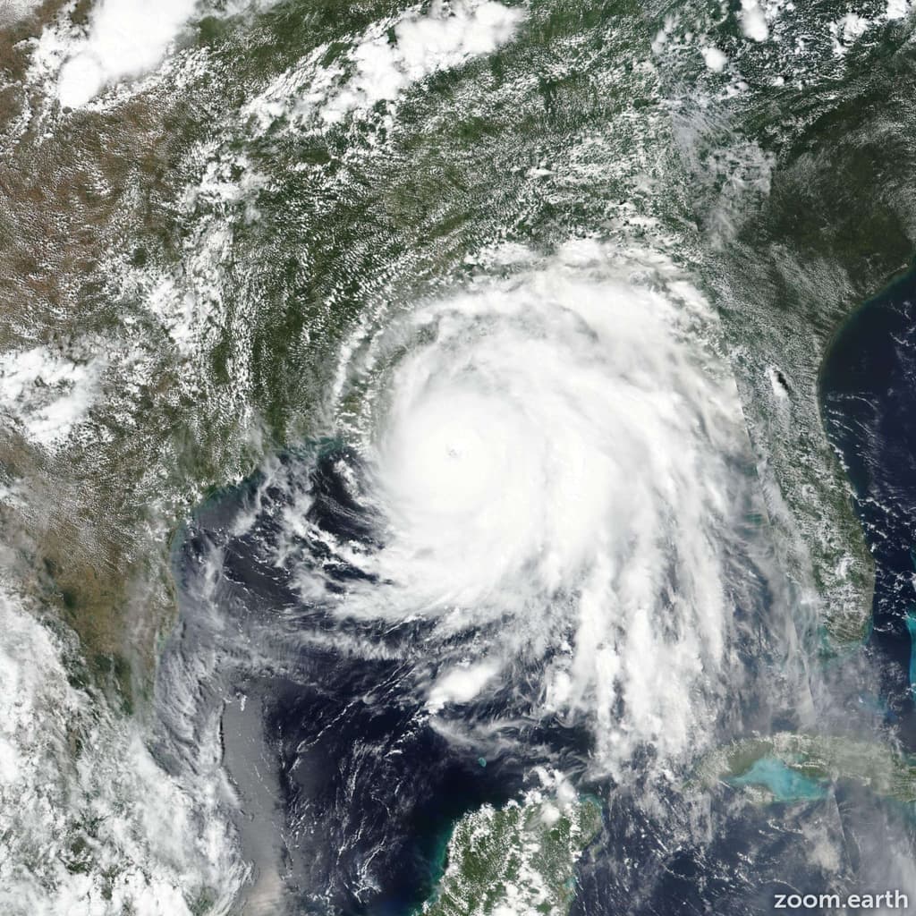
Hurricane Polo's explosive rapid intensification to 180 mph winds and 892 mb pressure on September 22 has anchored trader sentiment, positioning 2026 as unusually active with three Category 5 systems already (Genevieve, Lowell, Polo) and tying the seasonal record for such storms in the eastern Pacific. Warm sea surface temperatures, reduced wind shear, and lingering El Niño influences have supported extreme development, as confirmed by National Hurricane Center analyses and aircraft reconnaissance showing Polo's pressure ranking second only to Patricia's 2015 benchmark of 872 mb and 215 mph. While Polo falls short of all-time intensity records, the season's elevated accumulated cyclone energy and multiple opportunities for further strengthening through October sustain the 65% implied probability that a new benchmark will be set before year-end.
Ringkasan eksperimental yang dihasilkan AI dengan referensi data Polymarket. Ini bukan saran trading dan tidak berperan dalam bagaimana pasar ini diselesaikan. · DiperbaruiAll-time Pacific Category 5 hurricane record broken in 2026?
All-time Pacific Category 5 hurricane record broken in 2026?
A tropical cyclone is assigned Category 5 intensity when an operational advisory reports a maximum sustained wind speed (1-minute average) of at least 157 mph, corresponding to Category 5 on the Saffir-Simpson Hurricane Wind Scale. Operational advisories for this area are issued by the National Hurricane Center and the Central Pacific Hurricane Center.
Each tropical cyclone counts once toward the total, no matter how many advisories or how many separate periods report it at Category 5 intensity. Hurricane Genevieve, Hurricane Lowell and Hurricane Polo have each been assigned Category 5 intensity in 2026 and each count toward this total, so one additional tropical cyclone is required for this market to resolve to "Yes". A tropical cyclone in any other basin, including the Atlantic, will not be considered for resolution.
Being assigned Category 5 intensity at any single advisory within this period is sufficient for a tropical cyclone to count, regardless of its intensity at any other time. Once a fourth qualifying tropical cyclone has been reported at Category 5 intensity, this market will resolve to "Yes" regardless of that storm's subsequent intensity.
This market will resolve based on the operational advisory data issued for a storm while it is active. Any revision to a storm's peak intensity or category published later in a post-storm best-track report or Tropical Cyclone Report will not be considered for resolution. If a correction to an advisory is issued to fix a clerical error, the corrected advisory will govern.
The primary resolution source for this market will be the operational advisories issued by the National Oceanic and Atmospheric Administration's National Hurricane Center and Central Pacific Hurricane Center (https://www.nhc.noaa.gov/); however, a consensus of credible reporting may also be used.
Pasar Dibuka: Sep 22, 2026, 4:47 PM ET
Sumber Resolusi
https://www.nhc.noaa.gov/Resolver
0x65070BE91...A tropical cyclone is assigned Category 5 intensity when an operational advisory reports a maximum sustained wind speed (1-minute average) of at least 157 mph, corresponding to Category 5 on the Saffir-Simpson Hurricane Wind Scale. Operational advisories for this area are issued by the National Hurricane Center and the Central Pacific Hurricane Center.
Each tropical cyclone counts once toward the total, no matter how many advisories or how many separate periods report it at Category 5 intensity. Hurricane Genevieve, Hurricane Lowell and Hurricane Polo have each been assigned Category 5 intensity in 2026 and each count toward this total, so one additional tropical cyclone is required for this market to resolve to "Yes". A tropical cyclone in any other basin, including the Atlantic, will not be considered for resolution.
Being assigned Category 5 intensity at any single advisory within this period is sufficient for a tropical cyclone to count, regardless of its intensity at any other time. Once a fourth qualifying tropical cyclone has been reported at Category 5 intensity, this market will resolve to "Yes" regardless of that storm's subsequent intensity.
This market will resolve based on the operational advisory data issued for a storm while it is active. Any revision to a storm's peak intensity or category published later in a post-storm best-track report or Tropical Cyclone Report will not be considered for resolution. If a correction to an advisory is issued to fix a clerical error, the corrected advisory will govern.
The primary resolution source for this market will be the operational advisories issued by the National Oceanic and Atmospheric Administration's National Hurricane Center and Central Pacific Hurricane Center (https://www.nhc.noaa.gov/); however, a consensus of credible reporting may also be used.
Sumber Resolusi
https://www.nhc.noaa.gov/Resolver
0x65070BE91...Hurricane Polo's explosive rapid intensification to 180 mph winds and 892 mb pressure on September 22 has anchored trader sentiment, positioning 2026 as unusually active with three Category 5 systems already (Genevieve, Lowell, Polo) and tying the seasonal record for such storms in the eastern Pacific. Warm sea surface temperatures, reduced wind shear, and lingering El Niño influences have supported extreme development, as confirmed by National Hurricane Center analyses and aircraft reconnaissance showing Polo's pressure ranking second only to Patricia's 2015 benchmark of 872 mb and 215 mph. While Polo falls short of all-time intensity records, the season's elevated accumulated cyclone energy and multiple opportunities for further strengthening through October sustain the 65% implied probability that a new benchmark will be set before year-end.
Ringkasan eksperimental yang dihasilkan AI dengan referensi data Polymarket. Ini bukan saran trading dan tidak berperan dalam bagaimana pasar ini diselesaikan. · Diperbarui


Hati-hati dengan link eksternal.
Hati-hati dengan link eksternal.
Pertanyaan yang Sering Diajukan