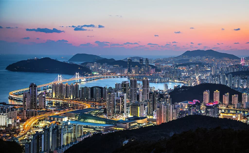
**Persistent late-August heat driven by the North Pacific high-pressure system is keeping Busan unusually warm, with recent forecasts showing overnight lows clustered in the mid-to-upper 20s °C amid high humidity and scattered thunderstorm chances.** On August 25, 2026, models indicate continued southerly flow of moist subtropical air, limiting radiative cooling overnight and supporting minimum temperatures near 26–28 °C for August 27. Thunderstorm activity forecast for that day could enhance mixing or produce brief cooling, yet the same moisture often prevents sharp drops, which helps explain the tight clustering of market-implied probabilities around 26–28 °C. Historical August averages place typical lows near 23–24 °C, so the elevated baseline this season—several degrees above normal due to the strengthened anticyclone—shifts the distribution higher while leaving room for uncertainty if stronger convection develops. Traders are therefore balancing the likelihood of a persistently warm, humid night against the possibility of localized cooling from rain, producing the near-even odds across the 23 °C-or-below, 25–28 °C, and 33 °C-or-higher buckets. Updated model runs and official Korea Meteorological Administration guidance ahead of August 27 will be the key near-term catalysts.
Polymarketデータを参照したAI生成の実験的な要約。これは取引アドバイスではなく、このマーケットの解決方法には一切関係ありません。 · 更新日8月27日の釜山の最低気温は?
8月27日の釜山の最低気温は?
33°C or higher 90%
23°C or below 88%
27°C 45%
26°C 44%
23°C or below
88%
24°C
1%
25°C
43%
26°C
44%
27°C
45%
28°C
43%
29°C
23%
30°C
43%
31°C
2%
32°C
4%
33°C or higher
90%
33°C or higher 90%
23°C or below 88%
27°C 45%
26°C 44%
23°C or below
88%
24°C
1%
25°C
43%
26°C
44%
27°C
45%
28°C
43%
29°C
23%
30°C
43%
31°C
2%
32°C
4%
33°C or higher
90%
The resolution source for this market will be information from NOAA, specifically the lowest reading under the "Temp" column for all times on this day, available here: https://www.weather.gov/wrh/timeseries?site=rkpk
If NOAA data is unavailable or missing for the observation period, Weather Underground will be used as the secondary resolution source.
To toggle between Fahrenheit and Celsius, click the "Switch to Metric Units" button until the relevant table displays °C.
This market can not resolve until the first data point for the following date has been published on the resolution source.
The resolution source for this market measures temperatures to whole degrees Celsius (eg, 9°C). Thus, this is the level of precision that will be used when resolving the market.
Revisions to temperatures recorded within this market's timeframe will be considered until the first datapoint for the following date has been published, after which any alterations will not be considered.
マーケット開始日: Aug 25, 2026, 12:31 AM ET
The resolution source for this market will be information from NOAA, specifically the lowest reading under the "Temp" column for all times on this day, available here: https://www.weather.gov/wrh/timeseries?site=rkpk
If NOAA data is unavailable or missing for the observation period, Weather Underground will be used as the secondary resolution source.
To toggle between Fahrenheit and Celsius, click the "Switch to Metric Units" button until the relevant table displays °C.
This market can not resolve until the first data point for the following date has been published on the resolution source.
The resolution source for this market measures temperatures to whole degrees Celsius (eg, 9°C). Thus, this is the level of precision that will be used when resolving the market.
Revisions to temperatures recorded within this market's timeframe will be considered until the first datapoint for the following date has been published, after which any alterations will not be considered.
**Persistent late-August heat driven by the North Pacific high-pressure system is keeping Busan unusually warm, with recent forecasts showing overnight lows clustered in the mid-to-upper 20s °C amid high humidity and scattered thunderstorm chances.** On August 25, 2026, models indicate continued southerly flow of moist subtropical air, limiting radiative cooling overnight and supporting minimum temperatures near 26–28 °C for August 27. Thunderstorm activity forecast for that day could enhance mixing or produce brief cooling, yet the same moisture often prevents sharp drops, which helps explain the tight clustering of market-implied probabilities around 26–28 °C. Historical August averages place typical lows near 23–24 °C, so the elevated baseline this season—several degrees above normal due to the strengthened anticyclone—shifts the distribution higher while leaving room for uncertainty if stronger convection develops. Traders are therefore balancing the likelihood of a persistently warm, humid night against the possibility of localized cooling from rain, producing the near-even odds across the 23 °C-or-below, 25–28 °C, and 33 °C-or-higher buckets. Updated model runs and official Korea Meteorological Administration guidance ahead of August 27 will be the key near-term catalysts.
Polymarketデータを参照したAI生成の実験的な要約。これは取引アドバイスではなく、このマーケットの解決方法には一切関係ありません。 · 更新日
外部リンクに注意してください。
外部リンクに注意してください。
よくある質問