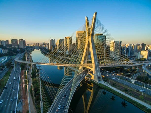
Forecast models show a relatively narrow spread for São Paulo’s maximum temperature on August 30, with most guidance clustering between 29–33 °C. Key variables include northwest winds that have supported recent warming, modest afternoon cloud cover, and a low-probability chance of scattered showers that could limit peak heating. Official agencies such as the Met Office and regional models indicate surface highs near 29–31 °C under partly cloudy skies, while some higher-resolution runs allow brief clearing that could push readings to 32–33 °C. Historical late-August maxima average around 22–25 °C, so current warmth reflects a transient ridge rather than a sustained pattern. Traders therefore assign the highest implied probabilities to 30–32 °C, reflecting both the central forecast envelope and residual uncertainty in boundary-layer mixing and convective timing before resolution.
Экспериментальная сводка, созданная ИИ на основе данных Polymarket. Это не является торговой рекомендацией и не влияет на то, как разрешается этот рынок. · ОбновленоСамая высокая температура в Сан-Паулу 30 августа?
Самая высокая температура в Сан-Паулу 30 августа?
31°C 22%
32°C 20%
30°C 19%
33°C 16%
28°C или ниже
6%
29°C
10%
30°C
19%
31°C
22%
32°C
20%
33°C
16%
34°C
8%
35°C
2%
36°C
1%
37°C
<1%
38°C или выше
<1%
31°C 22%
32°C 20%
30°C 19%
33°C 16%
28°C или ниже
6%
29°C
10%
30°C
19%
31°C
22%
32°C
20%
33°C
16%
34°C
8%
35°C
2%
36°C
1%
37°C
<1%
38°C или выше
<1%
The resolution source for this market will be information from NOAA, specifically the highest reading under the "Temp" column for all times on this day, available here: https://www.weather.gov/wrh/timeseries?site=sbgr
If NOAA data for the observation date is unavailable by 11:59 PM ET on the day following the observation date, the Weather Underground Daily Observations table will be used as the resolution source.
To toggle between Fahrenheit and Celsius, click the "Switch to Metric Units" button until the relevant table displays °C.
This market can not resolve until the first data point for the following date has been published on the resolution source.
The resolution source for this market measures temperatures to whole degrees Celsius (eg, 9°C). Thus, this is the level of precision that will be used when resolving the market.
Revisions to temperatures recorded within this market's timeframe will be considered until the first datapoint for the following date has been published, after which any alterations will not be considered.
Открытие рынка: Aug 28, 2026, 2:55 PM ET
Источник определения исхода
https://www.weather.gov/wrh/timeseries?site=sbgrКто определяет исход
0x69c47De9D...The resolution source for this market will be information from NOAA, specifically the highest reading under the "Temp" column for all times on this day, available here: https://www.weather.gov/wrh/timeseries?site=sbgr
If NOAA data for the observation date is unavailable by 11:59 PM ET on the day following the observation date, the Weather Underground Daily Observations table will be used as the resolution source.
To toggle between Fahrenheit and Celsius, click the "Switch to Metric Units" button until the relevant table displays °C.
This market can not resolve until the first data point for the following date has been published on the resolution source.
The resolution source for this market measures temperatures to whole degrees Celsius (eg, 9°C). Thus, this is the level of precision that will be used when resolving the market.
Revisions to temperatures recorded within this market's timeframe will be considered until the first datapoint for the following date has been published, after which any alterations will not be considered.
Источник определения исхода
https://www.weather.gov/wrh/timeseries?site=sbgrКто определяет исход
0x69c47De9D...Forecast models show a relatively narrow spread for São Paulo’s maximum temperature on August 30, with most guidance clustering between 29–33 °C. Key variables include northwest winds that have supported recent warming, modest afternoon cloud cover, and a low-probability chance of scattered showers that could limit peak heating. Official agencies such as the Met Office and regional models indicate surface highs near 29–31 °C under partly cloudy skies, while some higher-resolution runs allow brief clearing that could push readings to 32–33 °C. Historical late-August maxima average around 22–25 °C, so current warmth reflects a transient ridge rather than a sustained pattern. Traders therefore assign the highest implied probabilities to 30–32 °C, reflecting both the central forecast envelope and residual uncertainty in boundary-layer mixing and convective timing before resolution.
Экспериментальная сводка, созданная ИИ на основе данных Polymarket. Это не является торговой рекомендацией и не влияет на то, как разрешается этот рынок. · Обновлено
Не доверяй внешним ссылкам.
Не доверяй внешним ссылкам.
Часто задаваемые вопросы