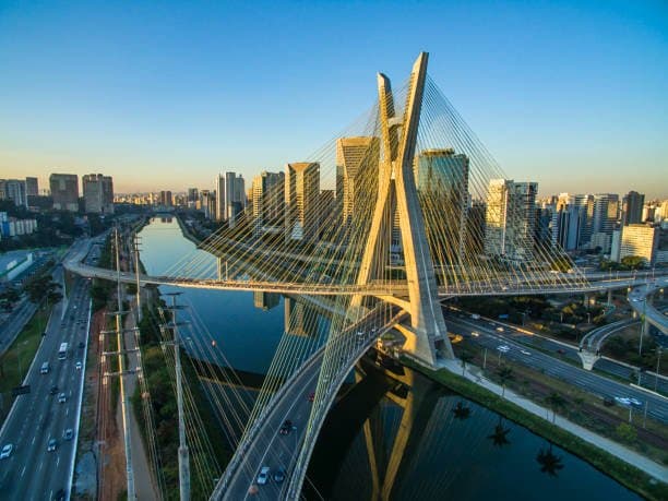
**Current forecasts from major models (GFS, ECMWF, and regional Brazilian guidance) place São Paulo’s overnight minimum on August 30 in the narrow 18–20 °C range, with the lowest readings most likely occurring just before dawn under partly cloudy skies and light easterly flow.** A warm, dry air mass currently dominates, suppressing strong radiative cooling and keeping dew points elevated, yet the absence of significant cloud cover or strong winds overnight allows modest cooling. Model consensus has tightened around 19 °C, but small differences in boundary-layer moisture, exact wind direction, and the timing of any weak frontal passage create the tight spread reflected in the 49 % / 44.5 % / 43 % market-implied probabilities for 18 °C, 17 °C or below, and 19 °C. Climatologically, late-August minima average near 12–14 °C, so the current elevated baseline keeps sub-17 °C outcomes possible only if clearer skies or a slightly stronger nocturnal inversion develop than most runs currently indicate. Traders are therefore weighting the latest high-resolution model runs and local CGE guidance, which will be updated within the next 24–36 hours as the event window approaches.
สรุปจาก AI ทดลองที่อ้างอิงข้อมูลจาก Polymarket ไม่ใช่คำแนะนำในการเทรดและไม่มีผลต่อการตัดสินตลาดนี้ · อัปเดตแล้วLowest temperature in Sao Paulo on August 30?
Lowest temperature in Sao Paulo on August 30?
27°C or higher 50%
26°C 47%
18°C 46%
17°C or below 44%
17°C or below
44%
18°C
46%
19°C
42%
20°C
35%
21°C
41%
22°C
18%
23°C
8%
24°C
24%
25°C
24%
26°C
47%
27°C or higher
50%
27°C or higher 50%
26°C 47%
18°C 46%
17°C or below 44%
17°C or below
44%
18°C
46%
19°C
42%
20°C
35%
21°C
41%
22°C
18%
23°C
8%
24°C
24%
25°C
24%
26°C
47%
27°C or higher
50%
The resolution source for this market will be information from NOAA, specifically the lowest reading under the "Temp" column for all times on this day, available here: https://www.weather.gov/wrh/timeseries?site=sbgr
If NOAA data for the observation date is unavailable by 11:59 PM ET on the day following the observation date, the Weather Underground Daily Observations table will be used as the resolution source.
To toggle between Fahrenheit and Celsius, click the "Switch to Metric Units" button until the relevant table displays °C.
This market can not resolve until the first data point for the following date has been published on the resolution source.
The resolution source for this market measures temperatures to whole degrees Celsius (eg, 9°C). Thus, this is the level of precision that will be used when resolving the market.
Revisions to temperatures recorded within this market's timeframe will be considered until the first datapoint for the following date has been published, after which any alterations will not be considered.
ตลาดเปิดเมื่อ: Aug 28, 2026, 2:29 PM ET
แหล่งข้อมูลการตัดสินผล
https://www.weather.gov/wrh/timeseries?site=sbgrผู้ตัดสินผล
0x69c47De9D...The resolution source for this market will be information from NOAA, specifically the lowest reading under the "Temp" column for all times on this day, available here: https://www.weather.gov/wrh/timeseries?site=sbgr
If NOAA data for the observation date is unavailable by 11:59 PM ET on the day following the observation date, the Weather Underground Daily Observations table will be used as the resolution source.
To toggle between Fahrenheit and Celsius, click the "Switch to Metric Units" button until the relevant table displays °C.
This market can not resolve until the first data point for the following date has been published on the resolution source.
The resolution source for this market measures temperatures to whole degrees Celsius (eg, 9°C). Thus, this is the level of precision that will be used when resolving the market.
Revisions to temperatures recorded within this market's timeframe will be considered until the first datapoint for the following date has been published, after which any alterations will not be considered.
แหล่งข้อมูลการตัดสินผล
https://www.weather.gov/wrh/timeseries?site=sbgrผู้ตัดสินผล
0x69c47De9D...**Current forecasts from major models (GFS, ECMWF, and regional Brazilian guidance) place São Paulo’s overnight minimum on August 30 in the narrow 18–20 °C range, with the lowest readings most likely occurring just before dawn under partly cloudy skies and light easterly flow.** A warm, dry air mass currently dominates, suppressing strong radiative cooling and keeping dew points elevated, yet the absence of significant cloud cover or strong winds overnight allows modest cooling. Model consensus has tightened around 19 °C, but small differences in boundary-layer moisture, exact wind direction, and the timing of any weak frontal passage create the tight spread reflected in the 49 % / 44.5 % / 43 % market-implied probabilities for 18 °C, 17 °C or below, and 19 °C. Climatologically, late-August minima average near 12–14 °C, so the current elevated baseline keeps sub-17 °C outcomes possible only if clearer skies or a slightly stronger nocturnal inversion develop than most runs currently indicate. Traders are therefore weighting the latest high-resolution model runs and local CGE guidance, which will be updated within the next 24–36 hours as the event window approaches.
สรุปจาก AI ทดลองที่อ้างอิงข้อมูลจาก Polymarket ไม่ใช่คำแนะนำในการเทรดและไม่มีผลต่อการตัดสินตลาดนี้ · อัปเดตแล้ว
ระวังลิงก์ภายนอก
ระวังลิงก์ภายนอก
คำถามที่พบบ่อย