
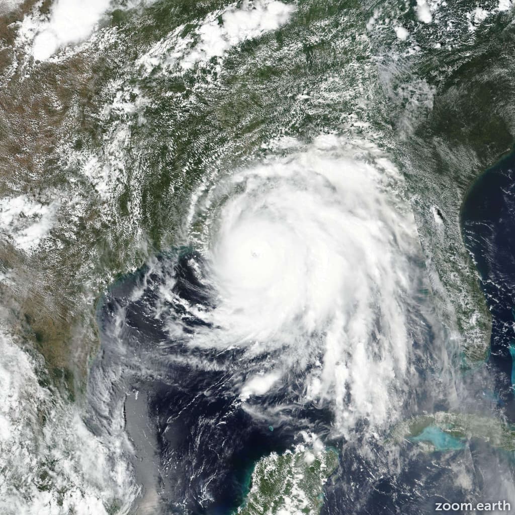
Hurricane Polo’s explosive 24-hour intensification to 180 mph winds and 892 mb pressure on September 22 has placed it just behind Patricia’s 2015 benchmarks of 215 mph and 872 mb, keeping the all-time eastern Pacific intensity record intact while tying the seasonal mark of three Category 5 storms. A record-strong El Niño continues to supply unusually warm waters and low shear that favor additional development through October. Forecasters note remaining uncertainty in late-season steering patterns and whether any new system can match or exceed Patricia’s verified peak before the season ends. National Hurricane Center updates and NOAA reconnaissance flights over the next several weeks will determine if trader-implied odds near 52 percent for a new record shift decisively.
基于Polymarket数据的AI实验性摘要。这不是交易建议,也不影响该市场的结算方式。 · 更新于2026年打破太平洋5级飓风历史记录?
2026年打破太平洋5级飓风历史记录?
是
是
A tropical cyclone is assigned Category 5 intensity when an operational advisory reports a maximum sustained wind speed (1-minute average) of at least 157 mph, corresponding to Category 5 on the Saffir-Simpson Hurricane Wind Scale. Operational advisories for this area are issued by the National Hurricane Center and the Central Pacific Hurricane Center.
Each tropical cyclone counts once toward the total, no matter how many advisories or how many separate periods report it at Category 5 intensity. Hurricane Genevieve, Hurricane Lowell and Hurricane Polo have each been assigned Category 5 intensity in 2026 and each count toward this total, so one additional tropical cyclone is required for this market to resolve to "Yes". A tropical cyclone in any other basin, including the Atlantic, will not be considered for resolution.
Being assigned Category 5 intensity at any single advisory within this period is sufficient for a tropical cyclone to count, regardless of its intensity at any other time. Once a fourth qualifying tropical cyclone has been reported at Category 5 intensity, this market will resolve to "Yes" regardless of that storm's subsequent intensity.
This market will resolve based on the operational advisory data issued for a storm while it is active. Any revision to a storm's peak intensity or category published later in a post-storm best-track report or Tropical Cyclone Report will not be considered for resolution. If a correction to an advisory is issued to fix a clerical error, the corrected advisory will govern.
The primary resolution source for this market will be the operational advisories issued by the National Oceanic and Atmospheric Administration's National Hurricane Center and Central Pacific Hurricane Center (https://www.nhc.noaa.gov/); however, a consensus of credible reporting may also be used.
市场开放时间: Sep 22, 2026, 4:47 PM ET
A tropical cyclone is assigned Category 5 intensity when an operational advisory reports a maximum sustained wind speed (1-minute average) of at least 157 mph, corresponding to Category 5 on the Saffir-Simpson Hurricane Wind Scale. Operational advisories for this area are issued by the National Hurricane Center and the Central Pacific Hurricane Center.
Each tropical cyclone counts once toward the total, no matter how many advisories or how many separate periods report it at Category 5 intensity. Hurricane Genevieve, Hurricane Lowell and Hurricane Polo have each been assigned Category 5 intensity in 2026 and each count toward this total, so one additional tropical cyclone is required for this market to resolve to "Yes". A tropical cyclone in any other basin, including the Atlantic, will not be considered for resolution.
Being assigned Category 5 intensity at any single advisory within this period is sufficient for a tropical cyclone to count, regardless of its intensity at any other time. Once a fourth qualifying tropical cyclone has been reported at Category 5 intensity, this market will resolve to "Yes" regardless of that storm's subsequent intensity.
This market will resolve based on the operational advisory data issued for a storm while it is active. Any revision to a storm's peak intensity or category published later in a post-storm best-track report or Tropical Cyclone Report will not be considered for resolution. If a correction to an advisory is issued to fix a clerical error, the corrected advisory will govern.
The primary resolution source for this market will be the operational advisories issued by the National Oceanic and Atmospheric Administration's National Hurricane Center and Central Pacific Hurricane Center (https://www.nhc.noaa.gov/); however, a consensus of credible reporting may also be used.
Hurricane Polo’s explosive 24-hour intensification to 180 mph winds and 892 mb pressure on September 22 has placed it just behind Patricia’s 2015 benchmarks of 215 mph and 872 mb, keeping the all-time eastern Pacific intensity record intact while tying the seasonal mark of three Category 5 storms. A record-strong El Niño continues to supply unusually warm waters and low shear that favor additional development through October. Forecasters note remaining uncertainty in late-season steering patterns and whether any new system can match or exceed Patricia’s verified peak before the season ends. National Hurricane Center updates and NOAA reconnaissance flights over the next several weeks will determine if trader-implied odds near 52 percent for a new record shift decisively.
基于Polymarket数据的AI实验性摘要。这不是交易建议,也不影响该市场的结算方式。 · 更新于


警惕外部链接哦。
警惕外部链接哦。
常见问题