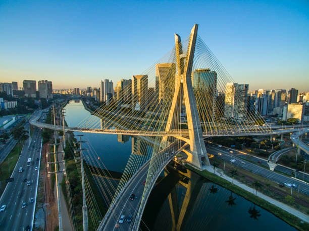
Traders assign the highest implied probabilities to 26°C (46%) and 27°C (28.5%) for São Paulo’s maximum temperature on August 4 because official forecasts from agencies such as the Met Office and numerical models currently project a daytime high near 26–28°C under stable subtropical winter conditions. In the Southern Hemisphere’s dry season, clear skies and light winds favor modest daytime warming, while the urban heat island effect in the metropolitan area can add 1–2°C relative to surrounding rural baselines. Recent observations show highs of 25–29°C over the prior days with minimal rainfall, supporting model consensus around these values rather than cooler seasonal averages near 23°C or rarer warmer outliers. Updated model runs and any late adjustments from regional meteorological services remain the key near-term catalysts.
Resumen experimental generado por IA con datos de Polymarket. Esto no es asesoramiento de trading y no influye en cómo se resuelve este mercado. · Actualizado¿La temperatura más alta en Sao Paulo el 4 de agosto?
¿La temperatura más alta en Sao Paulo el 4 de agosto?
26°C 46%
27°C 28%
25°C 14%
28°C 8%
22°C or below
1%
23°C
1%
24°C
2%
25°C
14%
26°C
46%
27°C
28%
28°C
8%
29°C
3%
30°C
1%
31°C
<1%
32°C o más
<1%
26°C 46%
27°C 28%
25°C 14%
28°C 8%
22°C or below
1%
23°C
1%
24°C
2%
25°C
14%
26°C
46%
27°C
28%
28°C
8%
29°C
3%
30°C
1%
31°C
<1%
32°C o más
<1%
The resolution source for this market will be information from Wunderground, specifically the highest temperature recorded for all times on this day for the Sao Paulo-Guarulhos International Airport Station, available here: https://www.wunderground.com/history/daily/br/guarulhos/SBGR.
To toggle between Fahrenheit and Celsius, click the gear icon next to the search bar and switch the Temperature setting between °F and °C.
This market can not resolve until the first data point for the following date has been published on the resolution source.
The resolution source for this market measures temperatures to whole degrees Celsius (eg, 9°C). Thus, this is the level of precision that will be used when resolving the market.
Revisions to temperatures recorded within this market's timeframe will be considered until the first datapoint for the following date has been published, after which any alterations will not be considered.
Mercado abierto: Aug 2, 2026, 9:03 PM ET
Fuente de resolución
https://www.wunderground.com/history/daily/br/guarulhos/SBGRResolver
0x69c47De9D...The resolution source for this market will be information from Wunderground, specifically the highest temperature recorded for all times on this day for the Sao Paulo-Guarulhos International Airport Station, available here: https://www.wunderground.com/history/daily/br/guarulhos/SBGR.
To toggle between Fahrenheit and Celsius, click the gear icon next to the search bar and switch the Temperature setting between °F and °C.
This market can not resolve until the first data point for the following date has been published on the resolution source.
The resolution source for this market measures temperatures to whole degrees Celsius (eg, 9°C). Thus, this is the level of precision that will be used when resolving the market.
Revisions to temperatures recorded within this market's timeframe will be considered until the first datapoint for the following date has been published, after which any alterations will not be considered.
Fuente de resolución
https://www.wunderground.com/history/daily/br/guarulhos/SBGRResolver
0x69c47De9D...Traders assign the highest implied probabilities to 26°C (46%) and 27°C (28.5%) for São Paulo’s maximum temperature on August 4 because official forecasts from agencies such as the Met Office and numerical models currently project a daytime high near 26–28°C under stable subtropical winter conditions. In the Southern Hemisphere’s dry season, clear skies and light winds favor modest daytime warming, while the urban heat island effect in the metropolitan area can add 1–2°C relative to surrounding rural baselines. Recent observations show highs of 25–29°C over the prior days with minimal rainfall, supporting model consensus around these values rather than cooler seasonal averages near 23°C or rarer warmer outliers. Updated model runs and any late adjustments from regional meteorological services remain the key near-term catalysts.
Resumen experimental generado por IA con datos de Polymarket. Esto no es asesoramiento de trading y no influye en cómo se resuelve este mercado. · Actualizado


Cuidado con los enlaces externos.
Cuidado con los enlaces externos.
Preguntas frecuentes